It would be a nice addition to have.
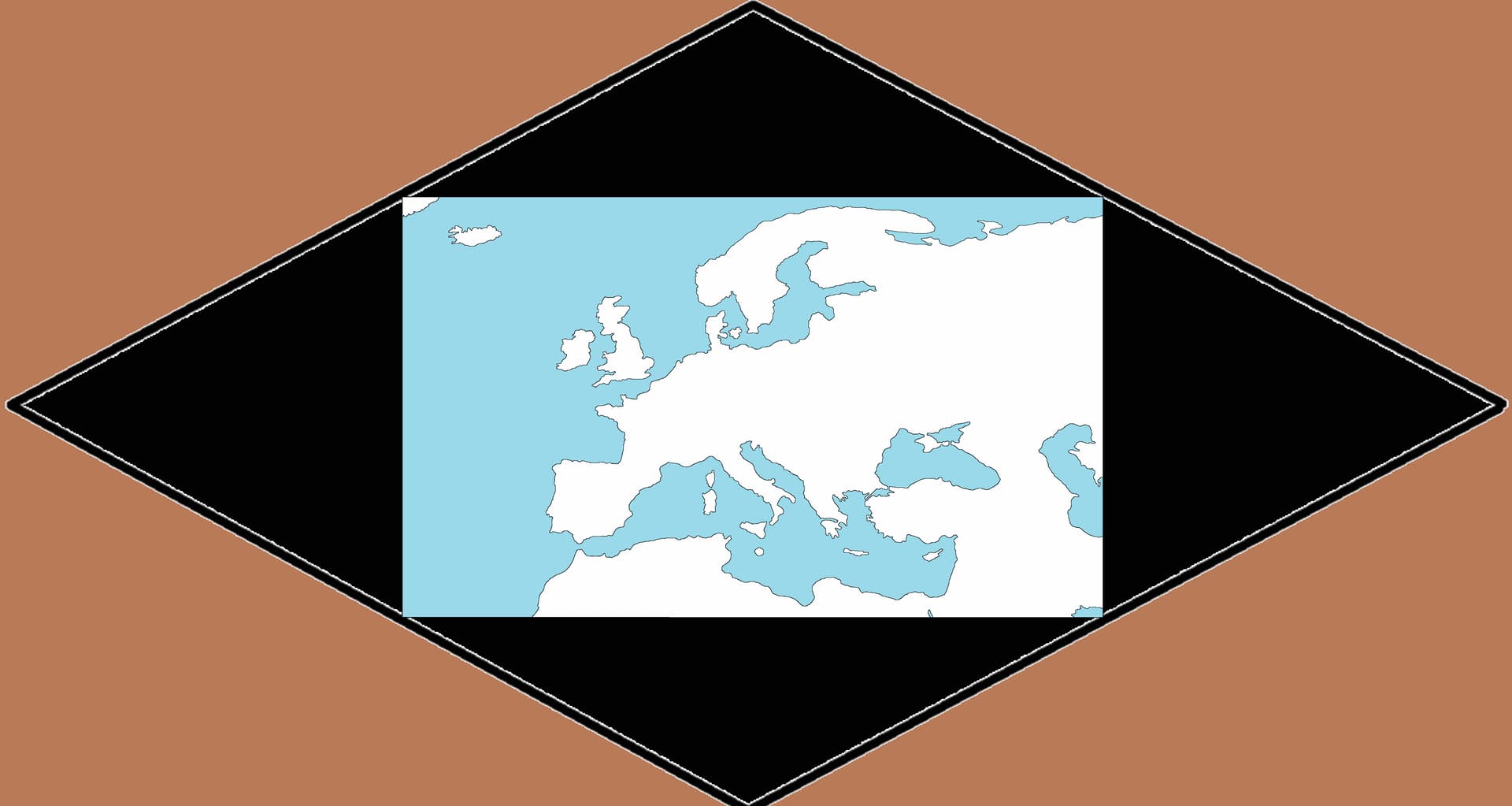
Not a fan of rotated or heavily distorted maps personally. I’d rather have something like that, where the black areas are all separated by cliffs from the map like how they designed the Bohemian map.