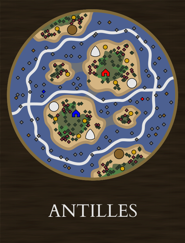
Immense riches can be made from the plantations of the West Indian Archipelago. These islands are worth much more than a few acres of snow. The multitude of islands provides a haven for pirates and smugglers who will need to be suppressed to gain full control of the region’s trade.
Settlements - Caribs, Maroons Trade Route - Sea route down the center. Capturable route around periphery guarded by pirates Features - Separate starting islands connected by a chokepoint of shallows enabling land invasions
With a submerged but crossable land connection, this map could still be played without taking water, eliminating one of the disliked parts of Caribbean. It would also introduce water trade routes and capturable routes to maps of the Americas.
This map could be further improved with the ability of small boats to cross shallow water and travel between the islands more easily.
Secondary islands enlarged to accommodate more players. Could have more islands chained to the starting 4 for 3vs3 or 4vs4 configurations.
A small central island with larger islands extending as spokes would provide a more fair start for odd number FFAs.
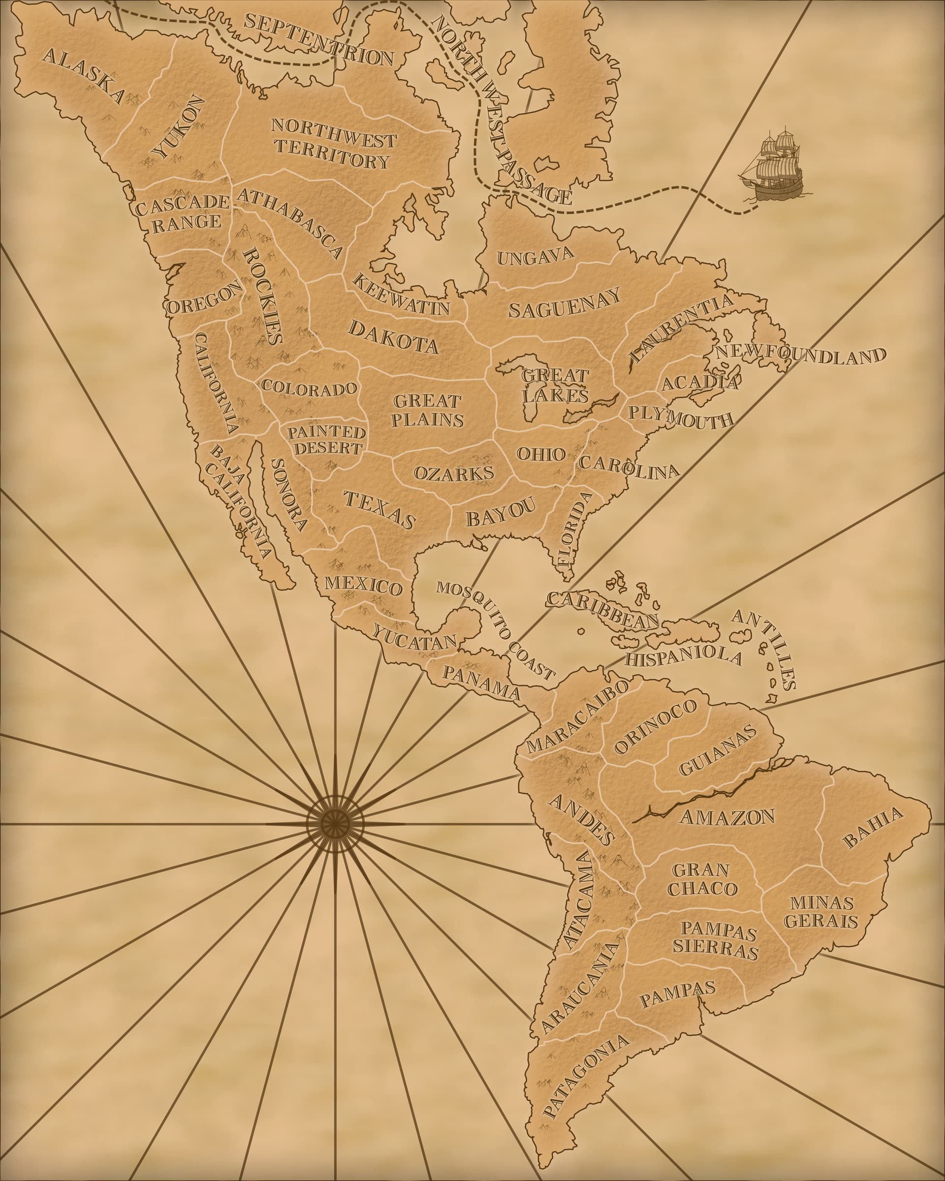
No, it can refer to pretty much the entire southern region of the continent. The Patagonia region on the in game map is actually more accurate than most regions.
Fun fact - After the Seven Years War, the French traded all of Canada for a single island in the Lesser Antilles
France gained the return of its sugar colony, Guadeloupe, which it considered more valuable than Canada. Voltaire had notoriously dismissed Acadia(Canada) as quelques arpents de neige (a few acres of snow)
I like your creativity for maps and although islands maps are not my cup of taste, this one is still much better than a bunch of islands/archipelago maps present throughout all AOEs.
Edit: Ok. I would definitely play this map. Have you ever thought about redesign a few old maps?
I’ve mostly been designing them in conjunction with other ideas to help justify them. For example, an Inuit minor faction is not going to be viable without maps to put them on. This one was more to fill out the new territories I included in the loading screen map I made.
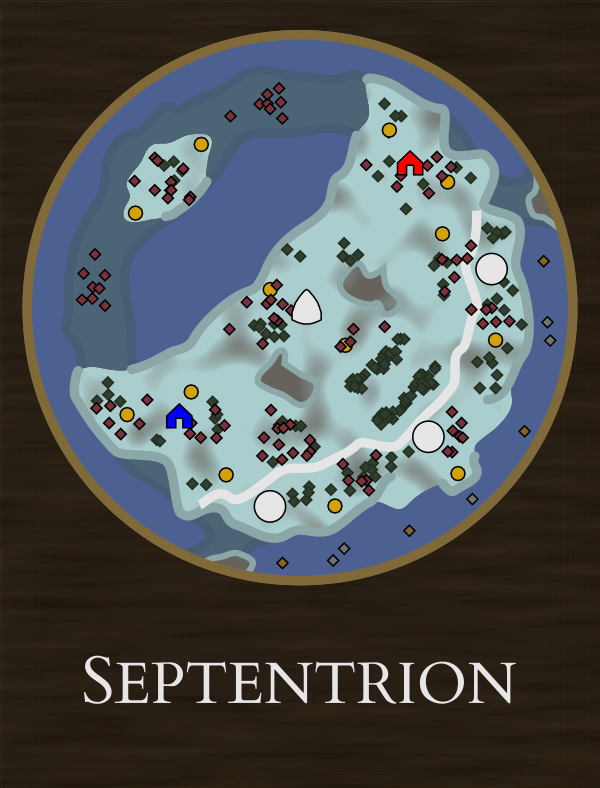
For changing old ones I’d rather just stick to fixing glaring errors like Zapotecs in the Amazon or Moose in Arctic Territories but those are pretty minor changes. Arctic Territories is probably the only one I’d rework (even more so than in my Arctic Maps post) since I just really don’t like the design.
I’ve been taking inspiration from the old maps and trying to design new ones that avoid their drawbacks. The next one I’ll post is basically a cross between Orinoco and Amazon which hopefully wouldn’t be as much of a slog fest as either of those two.
I did make those changes to Arctic Territories for my Inuit suggestion. And I proposed it be renamed to Septentrion which is a common label for unknown northern regions in old maps.
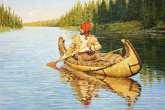
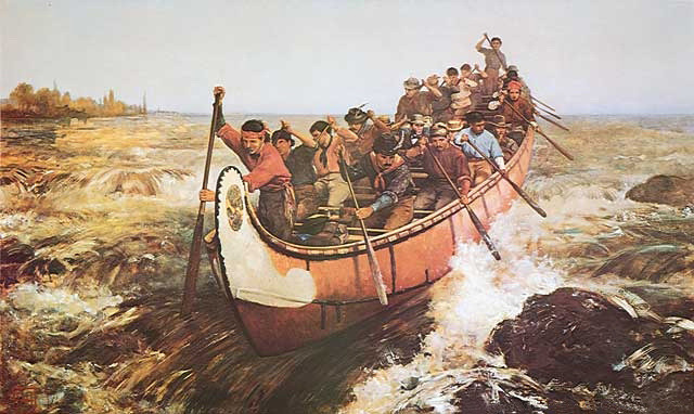
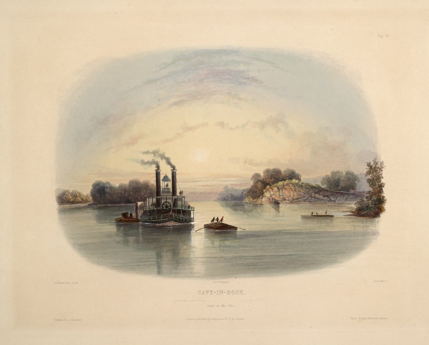
Maritime trade routes in American maps is the next suggestion I’m working on. But more specifically, coastal and riverine routes. They could go from Canoe → Large Dugout Canoe → Paddlewheel Riverboat like what is pictured in the images below.
The Antilles map in this suggestion and Mosquito Coast map were also ways to add oceanic trade routes to the Americas without needing to alter Caribbean and Hispaniola for those who enjoy them. Hispaniola is a weaker one though and could probably benefit from at least adding water treasures and new natives like Maroons.
Could you make a tutorial on how to use it? I would like to propose a redesign for ‘Caribbean’ and ‘Hispaniola’.
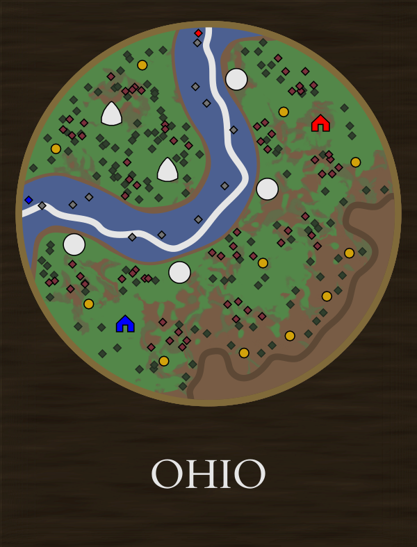
Also a new version for great lakes that is not always a circular map, and there are natives of Cree and Cheyenne at the same time.